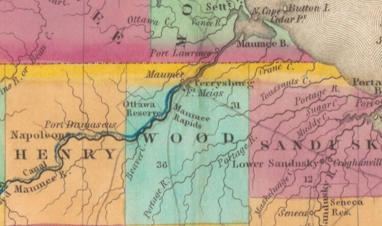
HIGH SPEED RAIL COMES TO wATERVILLE (AN AMERICA 250 ARTICLE)
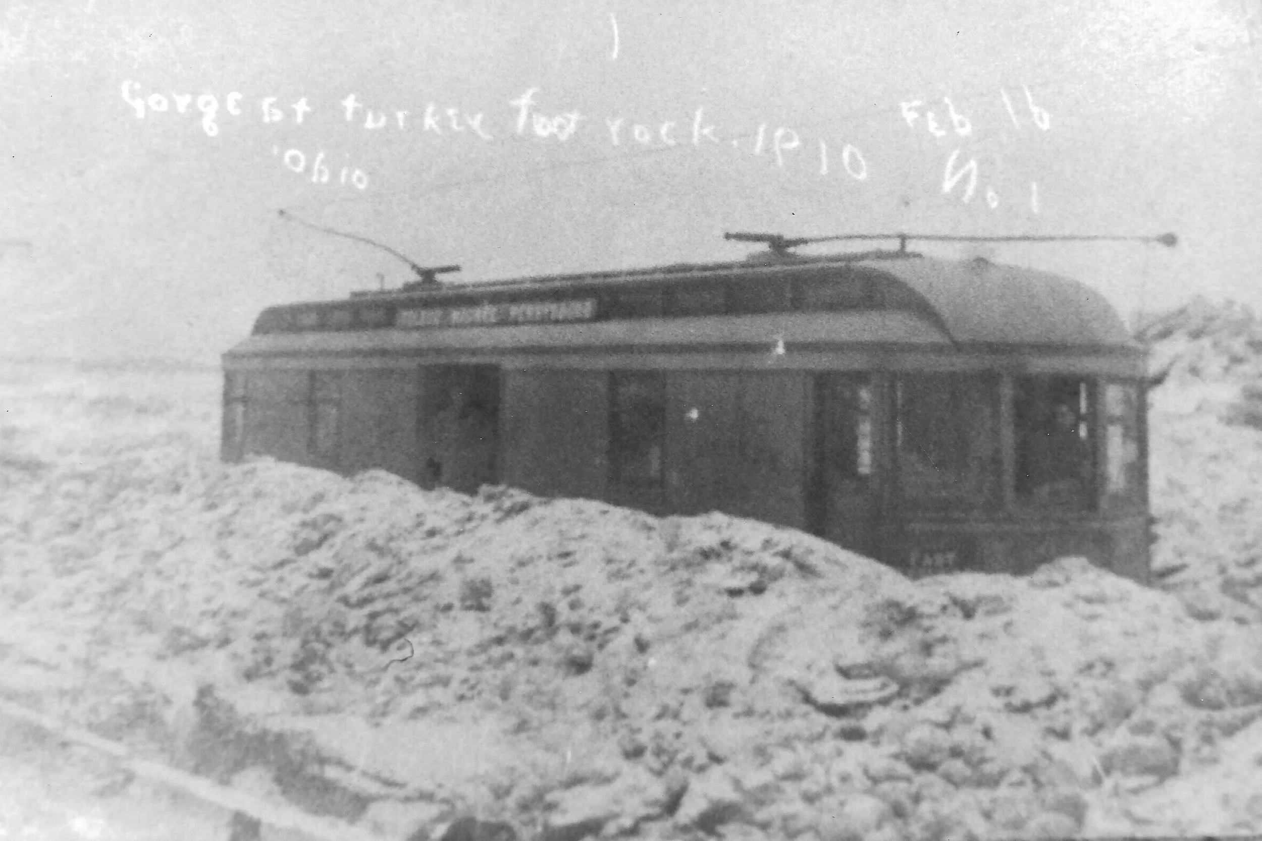
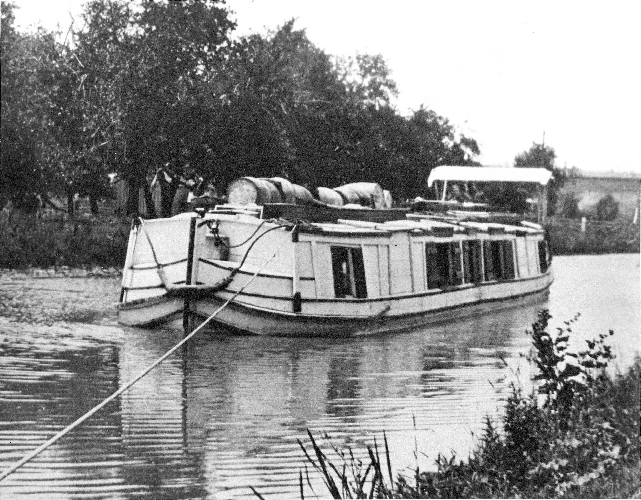
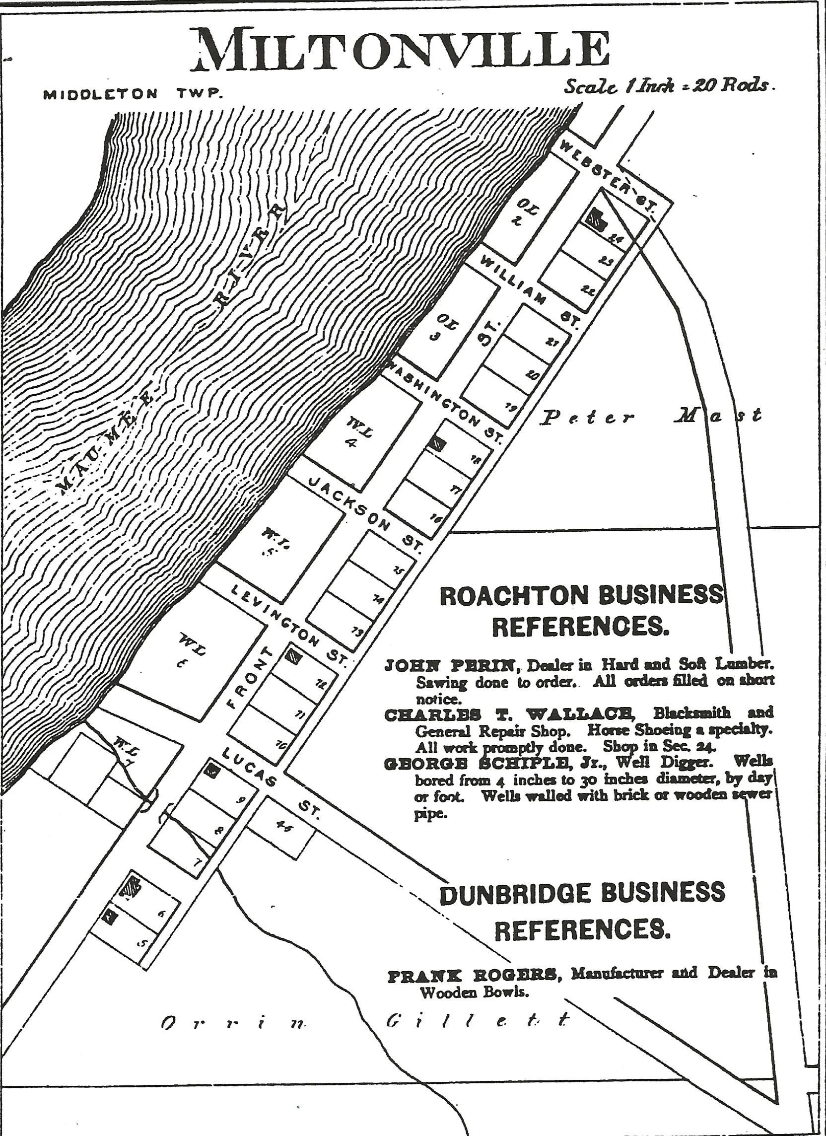
1903 flood . Pumpkin Vine car along the Maumee River
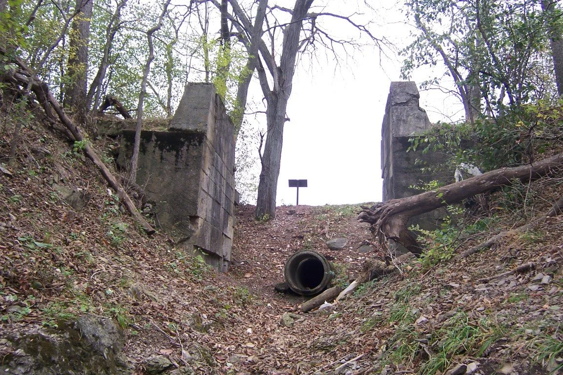
Pumpkin Vine Tracks cross the River Road near Jerome Road former location of Turkey Foot Rock
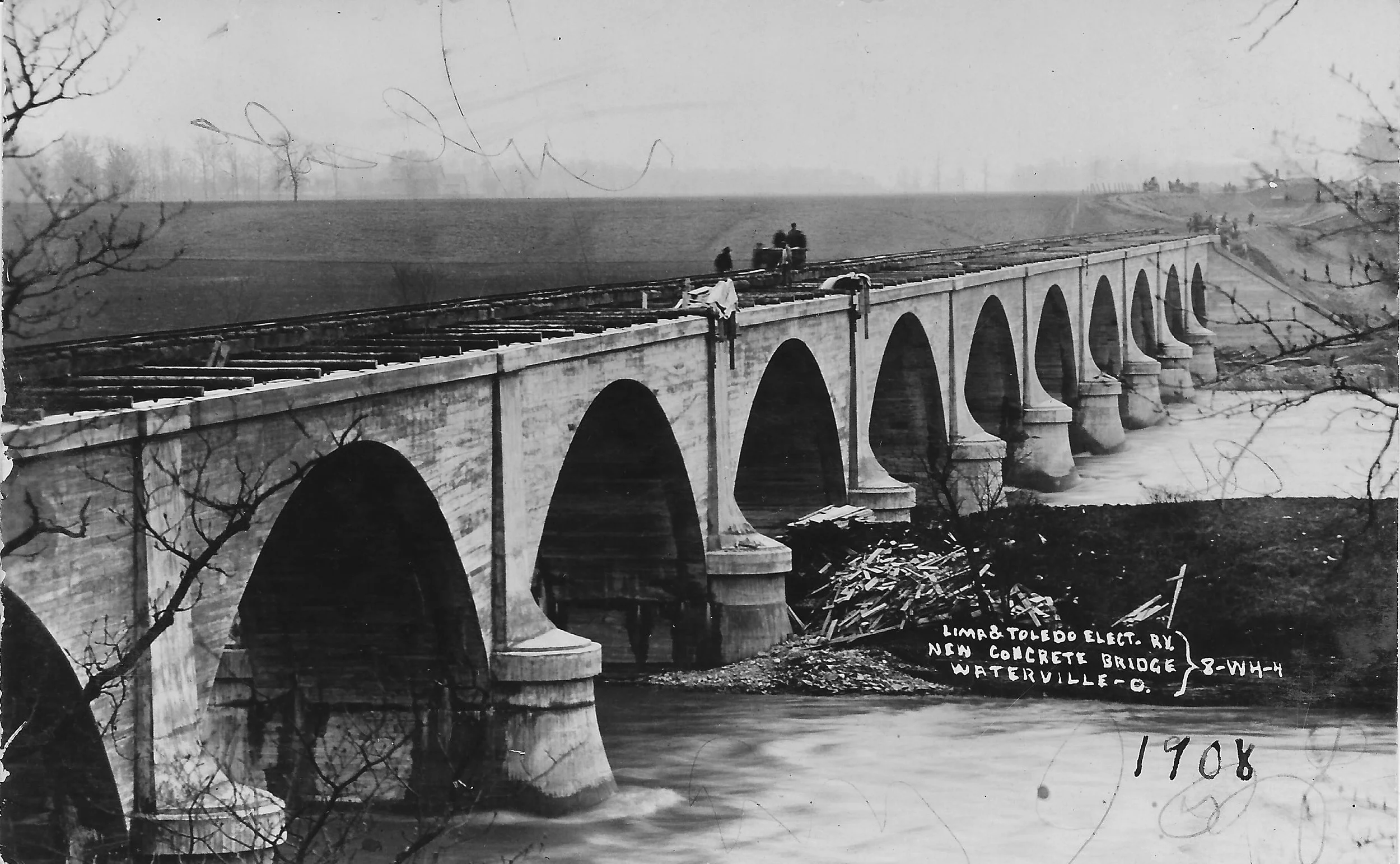
Lima and Toledo Electric Bridge
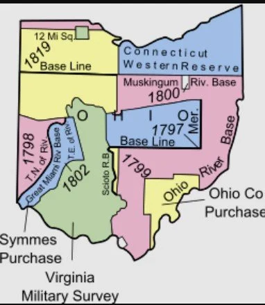
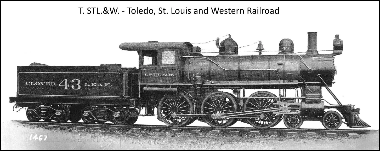
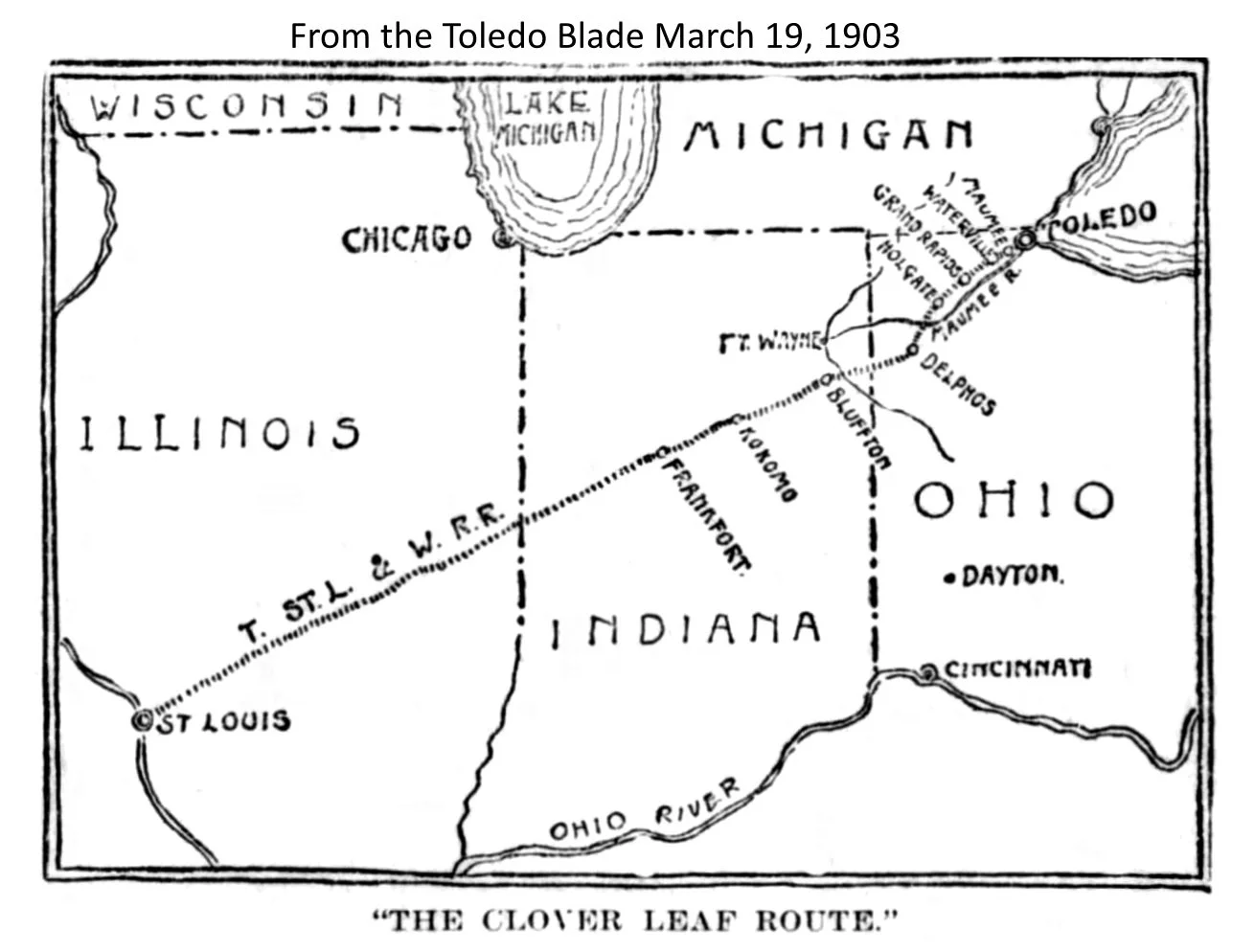
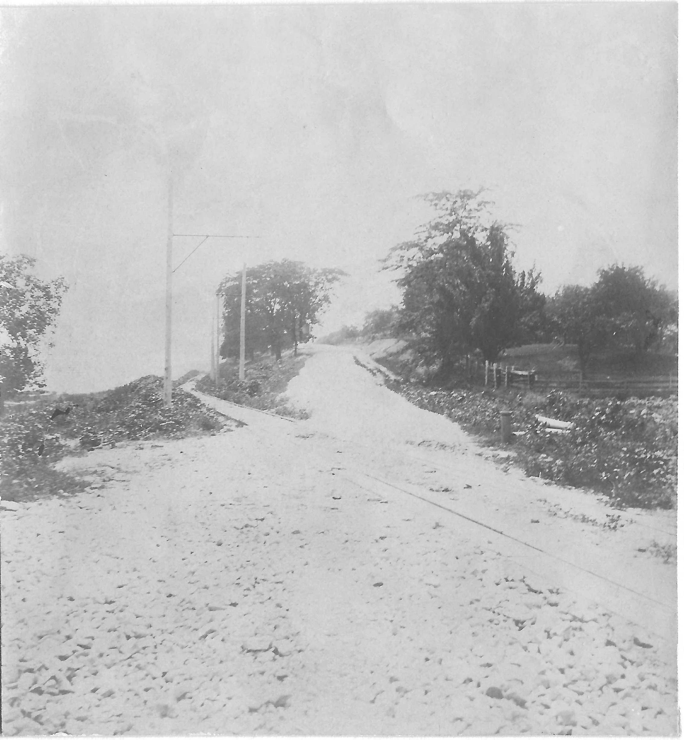
Railroad route — Electric and Steam
The opening of the 20th Century brought many changes for our citizens. There were brought about by the many advances in technology in the late 1800s. The great mechanical age began as machines replaced much manual labor. We will discuss two of these advances here and in several future articles.
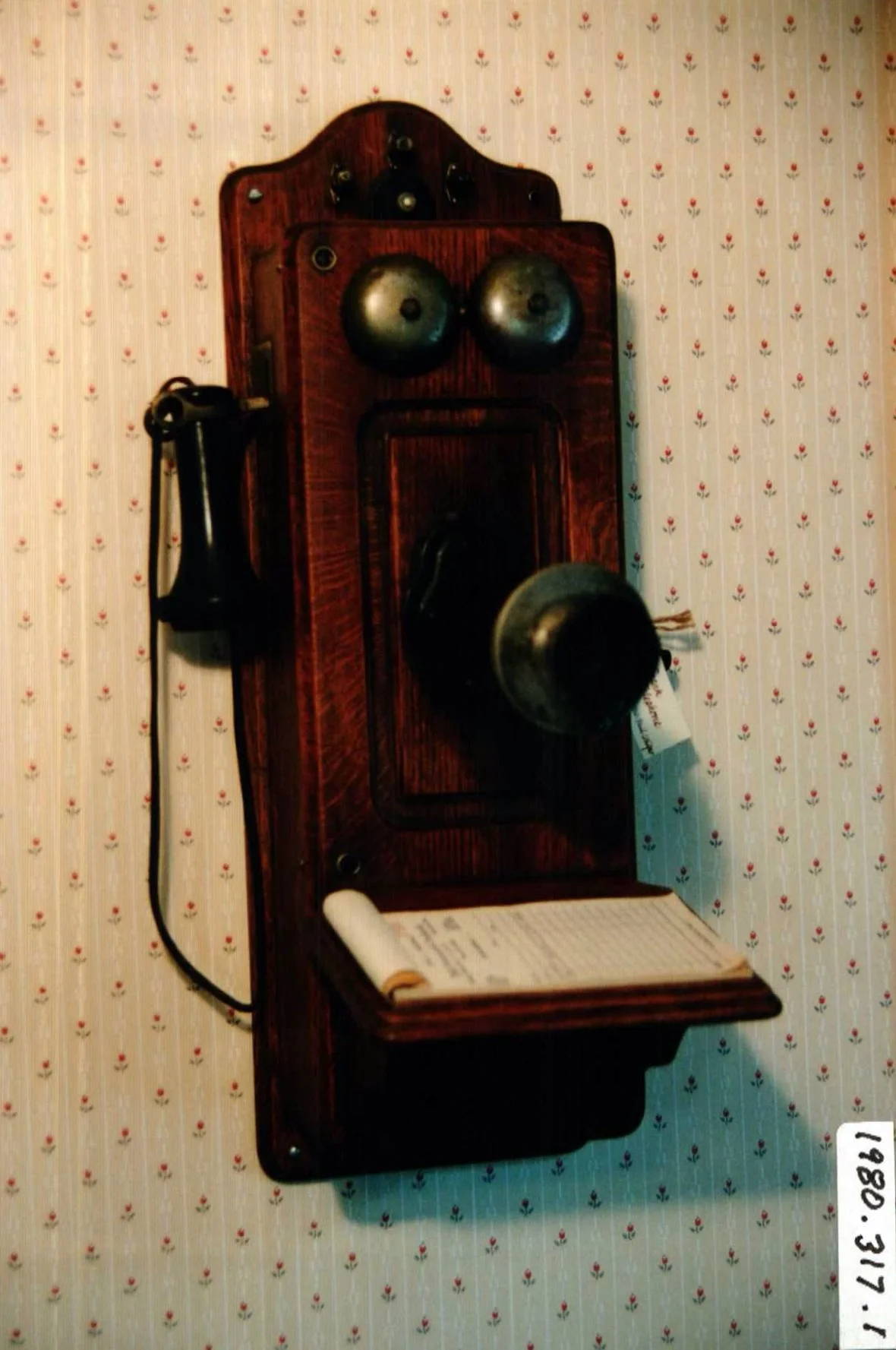
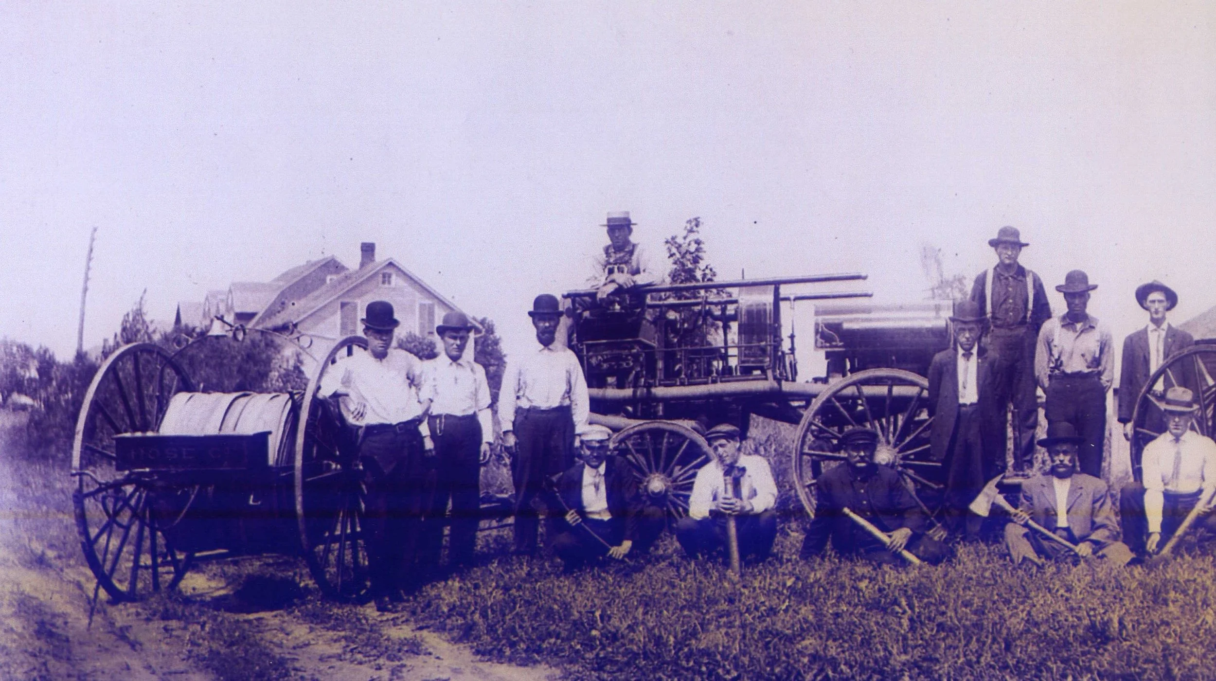
We learned how to generate and use electrical energy and the internal combustion engine was invented. Powerful electric motors were developed and, as earlier with steam, quickly were adapted to transportation. The electric railway was born, again primarily as “people movers”. Electric streetcars carried people throughout the city and single, self-powered cars carried people from one city or village to another, hence the “interurban” railway, These cars were very fast and lightweight so we can refer to them as “light rail “or high speed rail” and we might wish we still had these as we sit in stalled traffic on a busy highway. The importance to our society was that we could quickly, cheaply and easily get to the big city or the next town and back. Our world again got a bit smaller. Some freight, especially fresh produce and eggs benefitted from these electric railway systems as well. Personal interest note: It was rumored in my family that my grandfather was fired as operator of the interurban car because he rounded a curve too fast and tipped over a stack of egg crates.
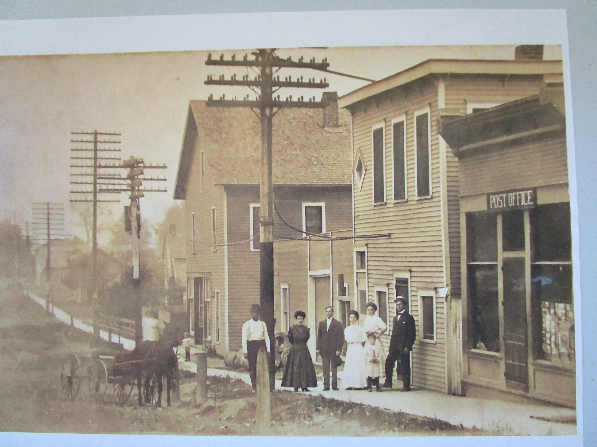
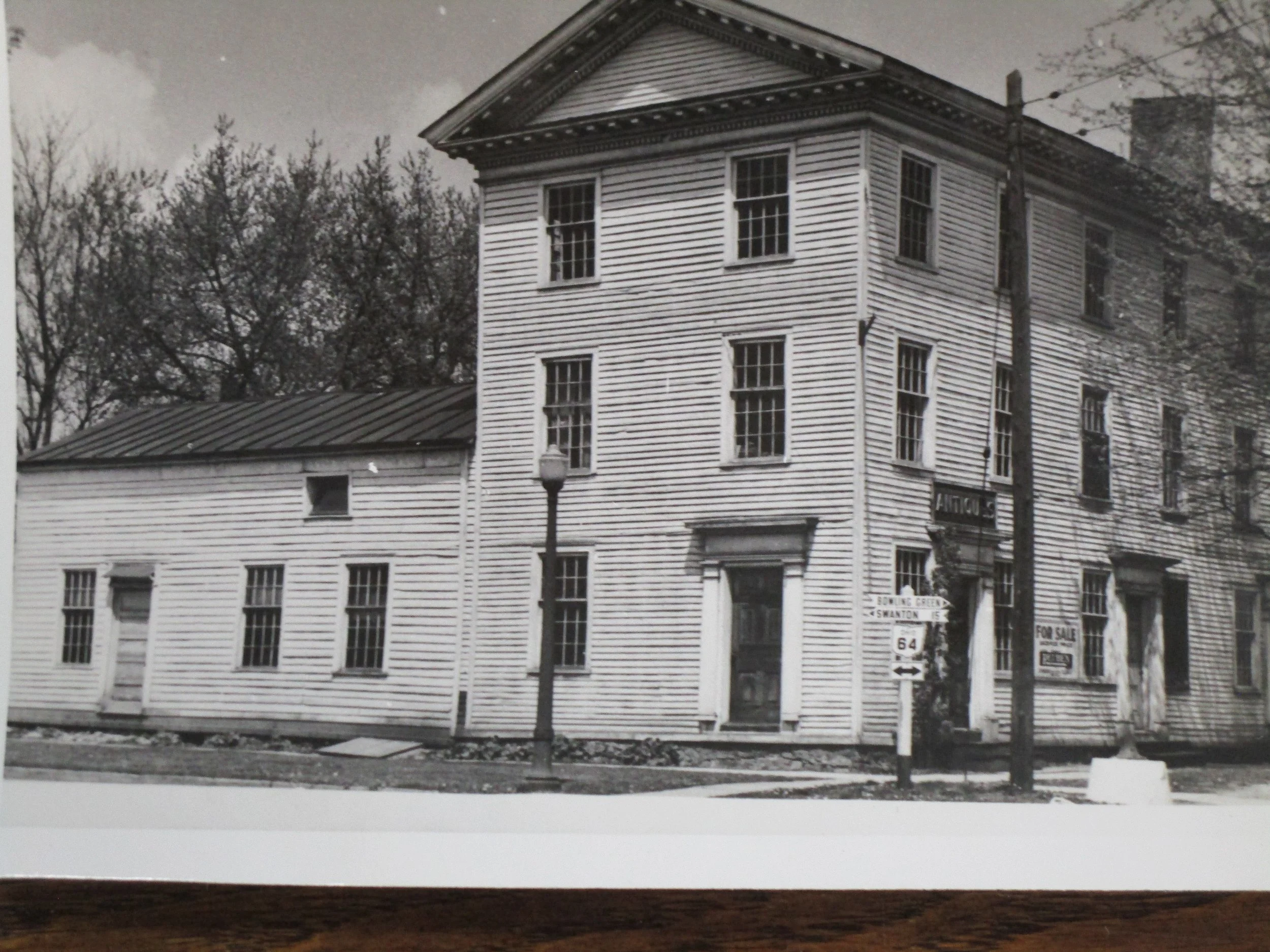
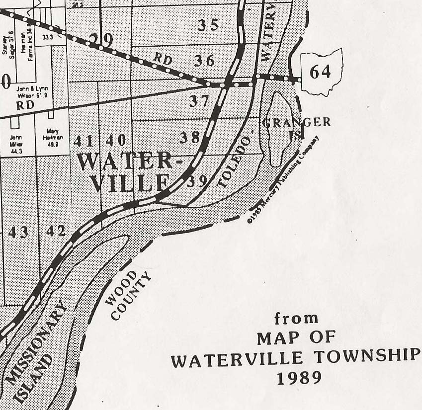
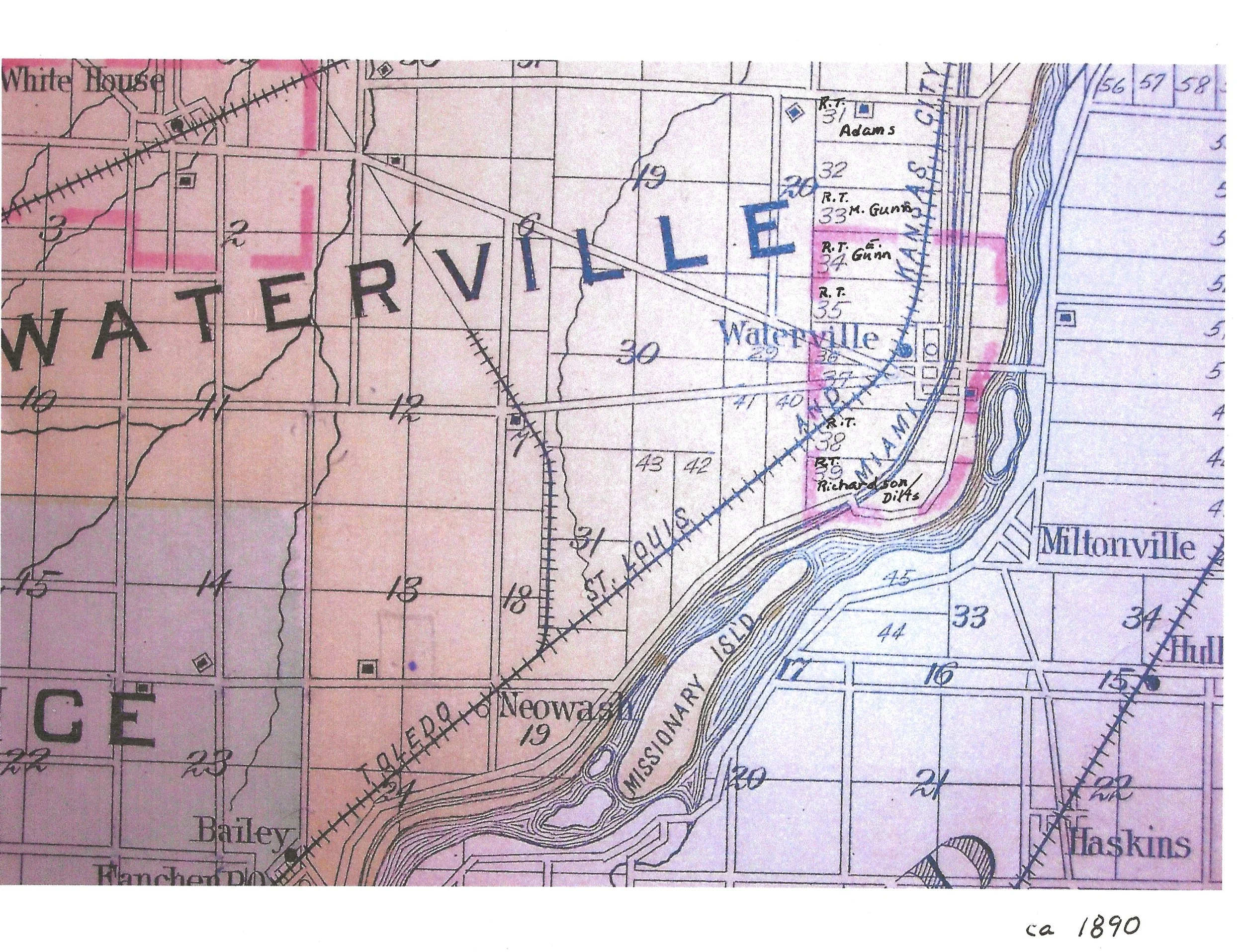
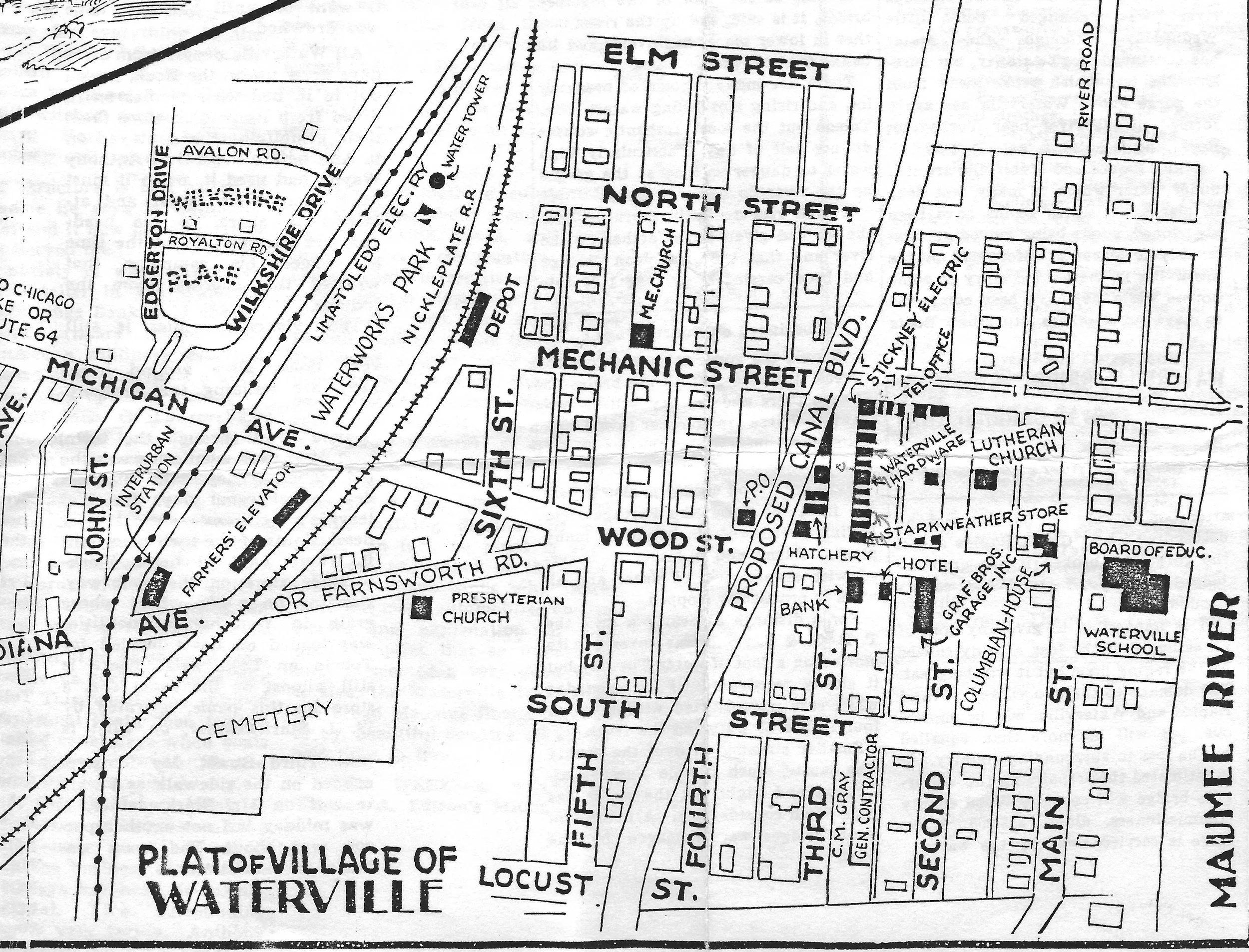
The interurban system first came to Waterville in 1901 as the Toledo, Waterville and Southern Electric Railway, which ran a line from Maumee to Waterville along the river. This ill-fated rail line, built by over-eager entrepreneurs and investors (so common in that era) ran through the flood plain (the land was cheap) and right beside the river as it neared Waterville then down the middle of Main St. and terminated at the Methodist Church on the corner of Main (River Road) and Mechanic Street. This line was known locally as the “Pumpkin Vine” due to many curves and twists. It was planned to continue on to Napoleon but that segment was never built. The route was subject to frequent wash-outs and ice damage in the spring so was never profitable, but the Waterville folks were happy to have to means to be whisked down to Maumee where they could make connections to other destinations. This interurban line finally went bankrupt by 1910 but our more famous line came in 1908 when the Toledo-Lima line completed our (now very famous) Roche de Boeuf arched bridge to connect us to Toledo and Lima. This line was soon taken over by the Ohio Electric Co and made connections all the way to Cincinnati and the Cincinnati and Lake Erie (C.& L.E.) Railway was born. This electric railway followed the route of our steam road into Maumee on the high ground and served us for many years.
This form of rapid transit served our citizens well, but was doomed by our other new technology. The internal combustion engine ushered in the age of the automobile. The auto was not tethered to a rail and wire, went directly to your destination and on your own schedule. The C & L.E. finally went out of business about 1938 or 1939, one of the last electric rail lines to do so.
Author: John R. Rose